
📊 Full opportunity report: The Eye Over the City: How Wide-Area Motion Imagery Works — and Where It Goes Blind on ThorstenMeyerAI.com — validation score, market gap, and execution plan.

Get office and shipping supplies delivered free — and shop member deals
- Fast, free delivery on millions of items
- Access to Prime Big Deal Days deals on October 6–7
- Prime Video, Amazon Music and more included
TL;DR
Wide-Area Motion Imagery (WAMI) allows real-time, city-wide surveillance by capturing gigapixel images of entire urban areas. It offers detailed forensic tracking but faces limitations like weather and airspace access. Its integration with radar enhances persistent surveillance capabilities.
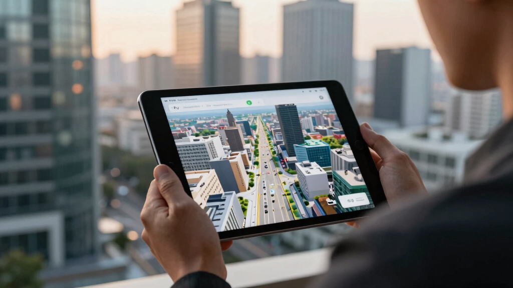
Wide-Area Motion Imagery (WAMI) is revolutionizing urban surveillance by enabling a single sensor to monitor entire cities in real time. This technology, used by military and civilian agencies, captures and archives comprehensive imagery, allowing analysts to rewind and track movements across vast areas. Its significance lies in its ability to provide detailed forensic data, making it one of the most impactful surveillance tools of recent decades.
WAMI systems utilize an array of high-resolution cameras stitched into a single, gigapixel image, covering several square kilometers from an altitude of around 17,500 feet. For example, DARPA’s ARGUS-IS employs 368 cameras to produce images with a resolution capable of identifying objects as small as six inches across, effectively acting as a city-sized, real-time forensic record. The captured data is processed through complex pipelines involving stabilization, motion detection, and archiving, enabling analysts to revisit past events and trace the movements of vehicles and individuals.
Deployment platforms for WAMI have expanded from large aircraft to drones, helicopters, and tethered aerostats, reflecting its growing versatility. Its primary uses include military intelligence, border security, wildfire mapping, and disaster response, where broad coverage and detailed tracking are essential. However, WAMI faces physical and operational limitations, such as weather interference, the need for overhead loitering, and high operational costs, restricting its effectiveness in certain environments.
The eye over the city: how Wide-Area Motion Imagery works — and where it goes blind
A normal drone sees through a soda straw. WAMI watches an entire city at once, tracks every mover, and records it all for forensic rewind. Immense reach — with hard limits that make radar and AI its necessary partners.
- City-scale motion, fine detail
- Forensic rewind
- Cloud / smoke / dark degrade it
- Needs a platform loitering overhead
sensing
+ AI
- Sees through cloud & total dark
- Tasked over denied airspace
- Persistent, wide-area from orbit
- Sovereign · on-prem · air-gap
The same archive that traces a bomber to a safe house can trace anyone home — retroactively, without prior suspicion. Baltimore’s secret 2016 deployment led to a 2021 federal ruling that persistent aerial tracking violated the Fourth Amendment. The security value is real; so is the mass-surveillance risk. Who owns the sensor, the archive, and the AI is the accountability question.
WAMI’s power is the archive and the AI reading it; its weakness is weather, airspace, and oversight. The mature posture isn’t optical-vs-radar or capability-vs-liberty — it’s layered sensing (optical WAMI + all-weather SAR), AI-enabled exploitation, and sovereign, auditable control of the whole chain. WAMI shows what a persistent eye can do with clear skies and owned airspace; for the cloud, the night, and the denied area, the radar layer is where the resilient coverage lives.
Impacts of WAMI on Urban and Military Surveillance
WAMI’s ability to provide continuous, detailed, and archived imagery significantly enhances situational awareness for military and civilian authorities. It supports forensic investigations, improves border security, and aids disaster management, making it a vital component of modern surveillance infrastructure. Its integration with other sensors like radar extends its capabilities into all-weather, denied environments, broadening its strategic value.
high resolution surveillance camera
As an affiliate, we earn on qualifying purchases.
As an affiliate, we earn on qualifying purchases.
Evolution and Current Use of WAMI Technology
Originating in the early 2000s with the Sonoma Persistent Surveillance Program, WAMI technology has evolved from experimental rigs to widely deployed systems. The US military adopted WAMI in Iraq and Afghanistan through systems like Constant Hawk, Gorgon Stare, and DARPA’s ARGUS-IS, demonstrating its operational value. Recently, civilian agencies have adopted WAMI for wildfire mapping and disaster response, reflecting its expanding role beyond military applications.
“WAMI is less a camera than a city-sized, real-time forensic record, enabling detailed tracking and investigation.”
— Thorsten Meyer, surveillance technology expert
Current Limitations and Challenges Facing WAMI Deployment
WAMI’s effectiveness is limited by weather conditions, the necessity of overhead loitering, and high operational costs. Its dependence on optical sensors makes it vulnerable to cloud cover, haze, and darkness. Additionally, contested airspace restricts its deployment, and the integration of AI for real-time analysis remains an ongoing challenge.
Future Developments and Integration with Other Sensors
Advancements are expected in sensor miniaturization, AI-driven automation, and multi-sensor fusion, particularly combining WAMI with synthetic aperture radar (SAR) for all-weather, persistent surveillance. Efforts are also underway to improve data processing and reduce operational costs, broadening WAMI’s applicability in both military and civilian contexts.
Key Questions
How does WAMI differ from traditional surveillance cameras?
WAMI captures a city-wide, gigapixel image in real time, allowing for forensic analysis and rewind capabilities, unlike traditional cameras that focus on narrow fields of view.
What are the main limitations of WAMI technology?
Its optical sensors are affected by weather conditions, it requires loitering platforms, and it involves high operational costs, limiting deployment in some environments.
How is WAMI integrated with other surveillance tools?
WAMI is often paired with radar systems like SAR to provide all-weather, persistent coverage, filling in each other’s blind spots.
What are the privacy concerns associated with WAMI?
Because WAMI records and archives detailed imagery over large areas, it raises significant privacy and governance questions, especially regarding civilian surveillance and data use.
What future improvements are expected for WAMI systems?
Expect advancements in AI automation, sensor miniaturization, and multi-sensor fusion to enhance coverage, reduce costs, and improve real-time analysis capabilities.
Source: ThorstenMeyerAI.com
Fall Picks
fall essentials
As an affiliate, we earn on qualifying purchases.